- On sale! -€19.84
- -€19.84
- Pack
Quick View
WishList
Compare
Add To Cart
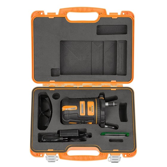
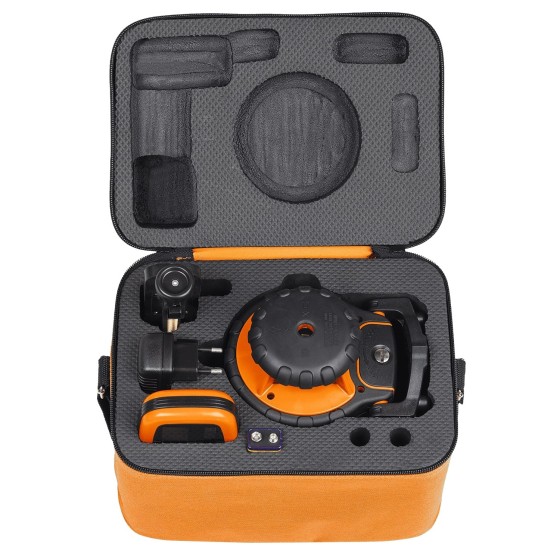
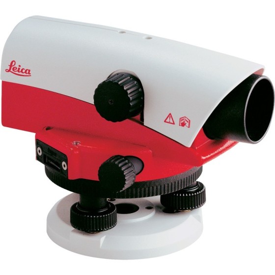
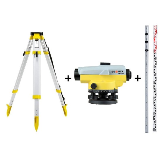
GeoMax ZAL232 Automatic Level Package...
GeoMax ZAL232 Automatic Level Package with Tripod & Levelling Staff.
Includes:
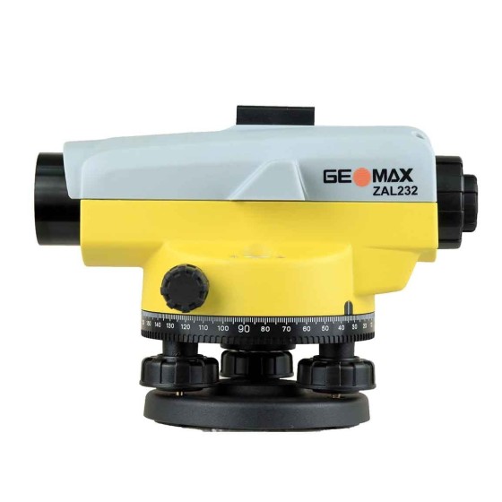
- GeoMax ZAL232 Automatic Level
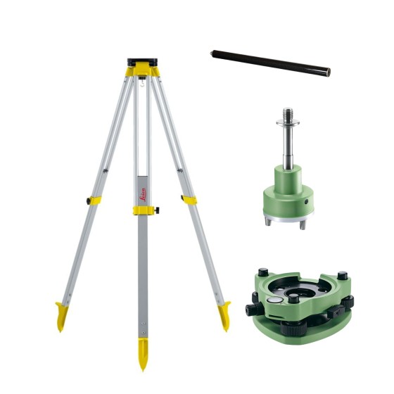
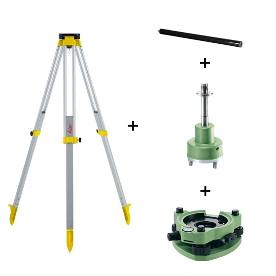
- GeoMax CTP104 Aluminium Tripod
- GeoMax Rod5N Telescopic Aluminium Staff 5m
€465.00
Regular price
€484.84
Price