- New
Quick View
WishList
Compare
Add To Cart
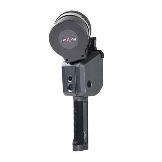
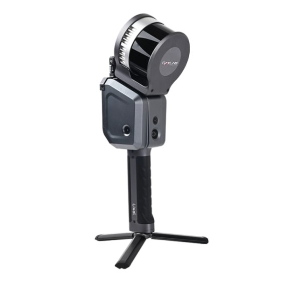
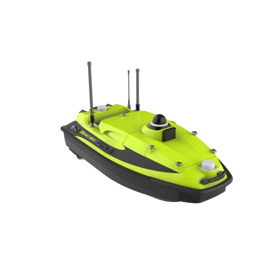
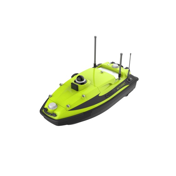
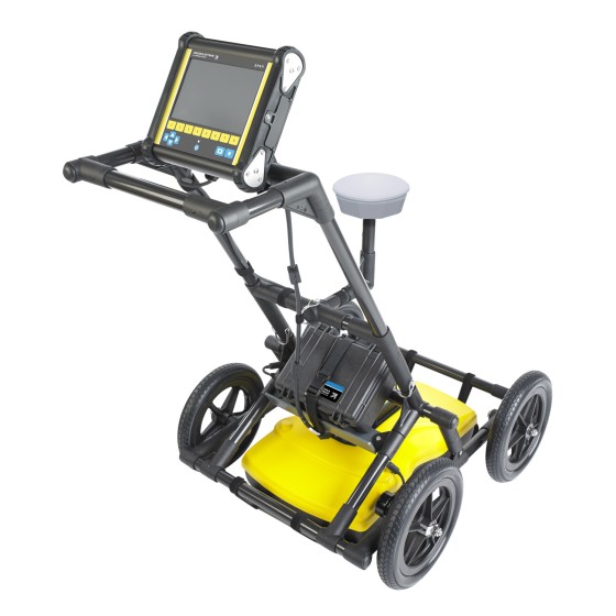
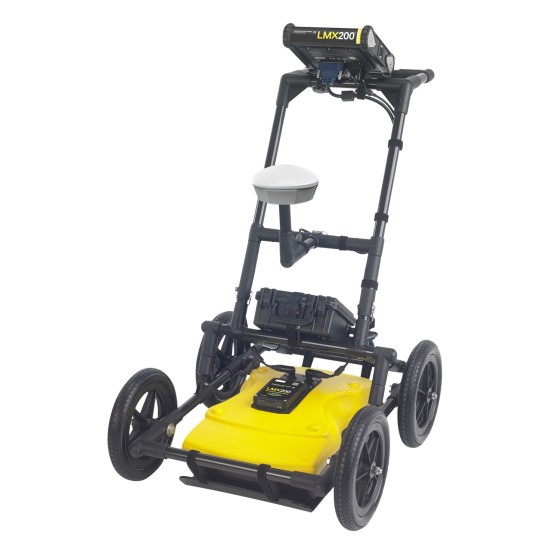
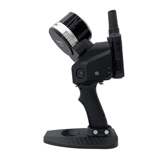
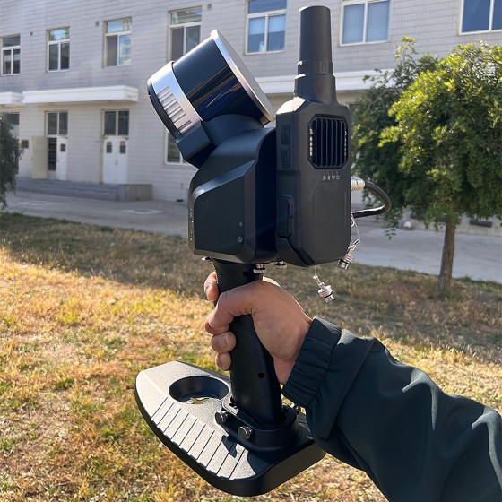
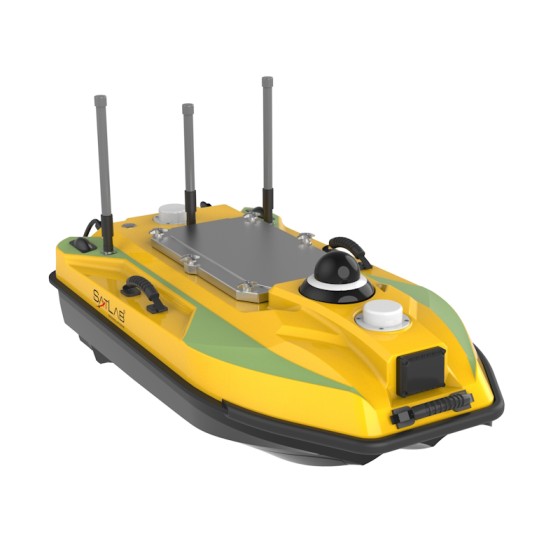
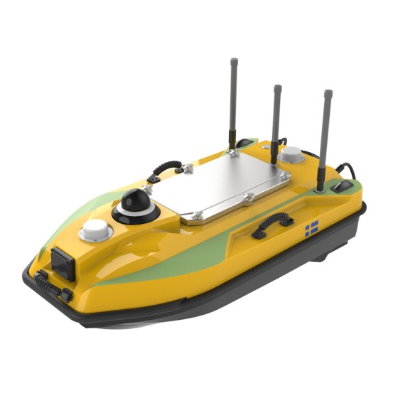
SatLab HydroBoat 990 USV
Truly convenient, truly powerful, and truly reliable HydroBoat 990 is an Android-powered USV system for bathymetric surveys. With only one man, one boat, and one controller to get the bathymetric surveys done.
With easy-to-use Android software and an integrated and practical boat structure, the HydroBoat 990 sails fast and measures accurately with excellent technical performance.