Quick View
WishList
Compare
Add To Cart
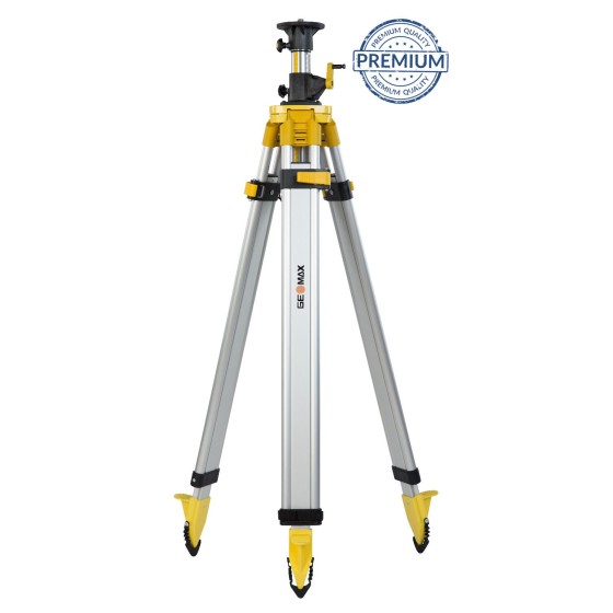
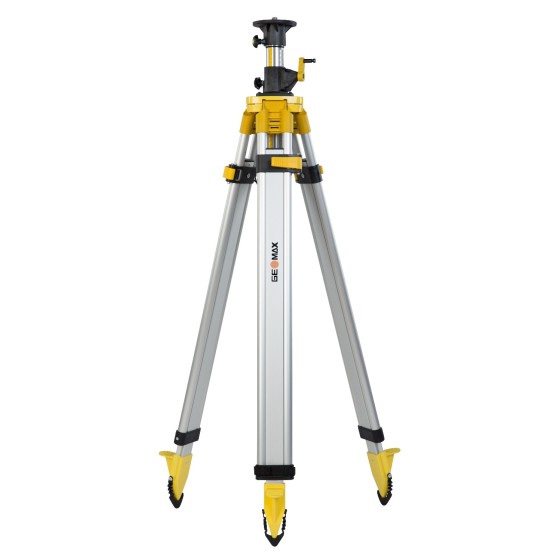
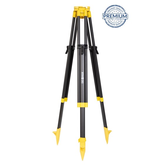
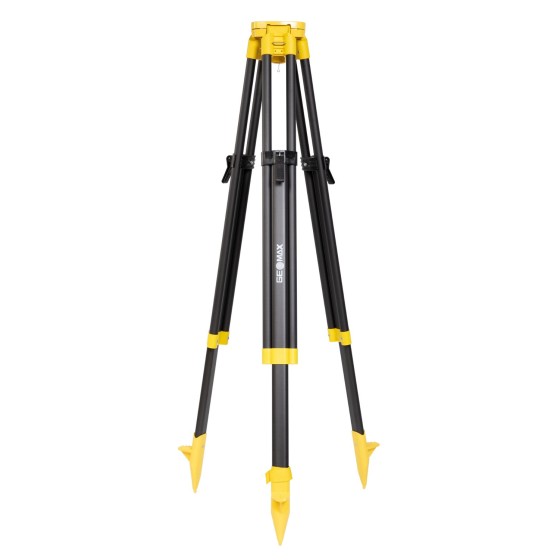
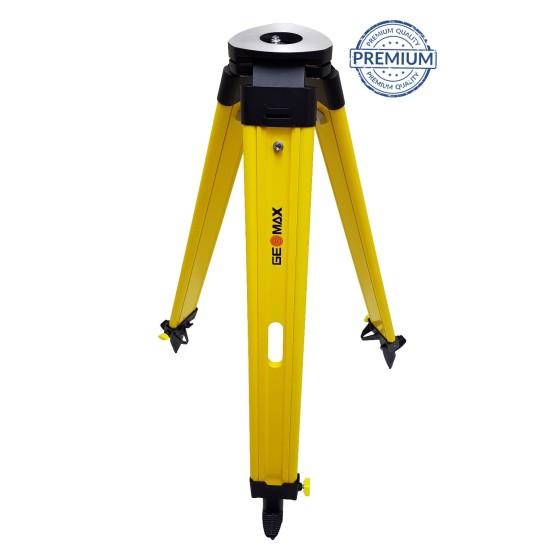
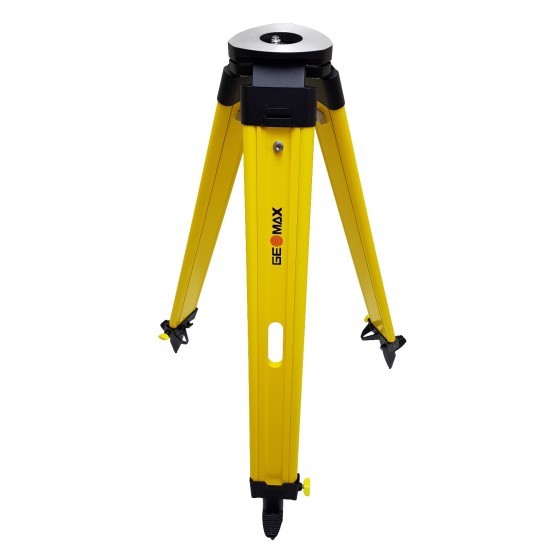
NESTLE 13704021 Wooden Tripod (1.70m)
NESTLE 13704021 Wooden Tripod (1.70m) with GeoMax logo.
€337.28
Price