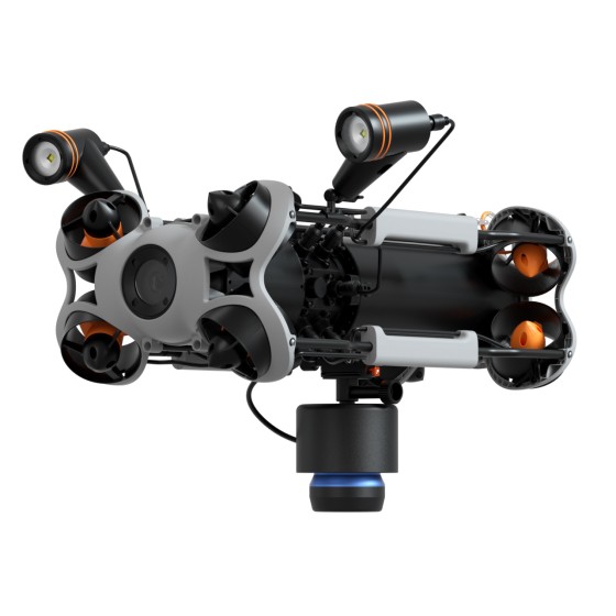
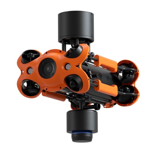
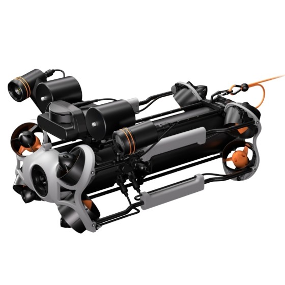
CHASING HANJIE C750D Multi-Beam Imaging...
HANJIE C750D multibeam imaging sonar can penetrate turbid waters and provide real-time imaging. It is capable of surveying large underwater areas while also enabling detailed close-range observation.
Filter By
Brand
Brand
Price
Price
Compatible with
Compatible with
HANJIE C750D multibeam imaging sonar can penetrate turbid waters and provide real-time imaging. It is capable of surveying large underwater areas while also enabling detailed close-range observation.
The Omniscan 450 FS sonar is a professional-grade underwater scanning system that uses high-definition technology to penetrate murky waters, generating real-time seabed maps at depths of up to 300 meters. With the intelligent SonarView software, it offers multiple display options for intuitive and efficient results, while supporting data replay and export for simplified analysis. Its easy installation and dual-sonar coordination enhance underwater operational efficiency, making it an ideal tool for locating and searching in murky waters.
CHASING Remote Controller 3
Compatible with MINI S, M2, M2S, M2 PRO, M2 PRO MAX
The new D-RTK 3 Survey Pole and Tripod Kit features a self-locking survey pole with easy height adjustment and a dual-lock tripod for easy leveling. The survey pole and tripod are designed to work together seamlessly with the D-RTK 3 Multifunctional Station, allowing flexible configuration based on different scenarios. In base station mode, it provides stable setup for high-precision drone missions. In rover station mode, the survey pole can be used independently for control point and check point data collection.
CHASING PING 360 SONAR KIT is designed exclusively for CHASING M2 PRO and M2 PRO MAX.
Requires use with PING 360 Sonar
CHASING PING 360 SONAR KIT is a mechanical scanning sonar for navigation and imaging in low-visibility water conditions, and also be used for applications such as inspection, obstacle avoidance, target location and tracking. It can realize a 360- degree scanning, has a 50 meter (165 foot) range, 300 meter (984 foot) depth rating, and an open-source software interface that makes it a capable tool for ROV underwater acoustic imaging.
The new D-RTK 3 Multifunctional Station integrates high-performance antennas and receiver modules, capable of tracking and resolving data from major global satellite navigation systems. It supports multiple data transmission links and can analyze device position and orientation through its built-in high-performance inertial measurement unit. With these outstanding features, it can serve as a base station to provide centimeter-level positioning for multiple drones simultaneously, or extend the operational range of drones in relay station mode. Additionally, the new rover station mode, combined with the DJI ENTERPRISE app and DJI Terra, offers a one-stop solution for high-precision aerial surveying applications.