- On sale! -15%
- -15%
Quick View
WishList
Compare
Add To Cart
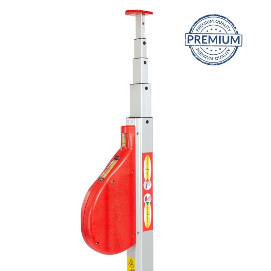
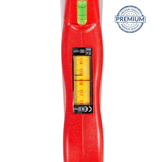
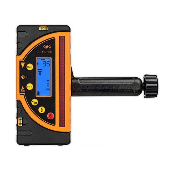
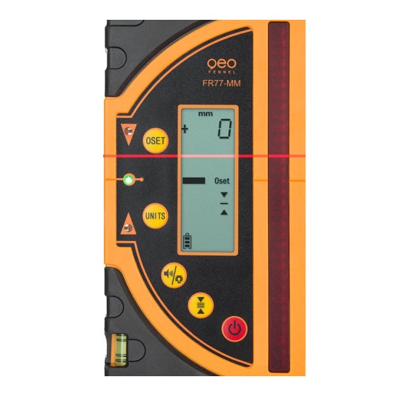
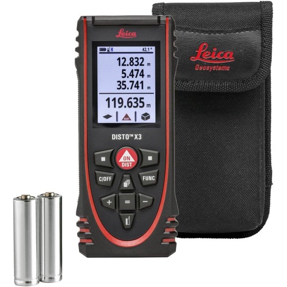
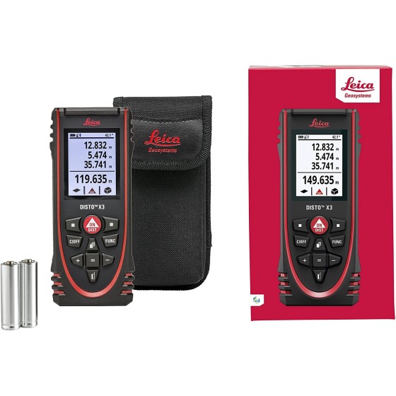
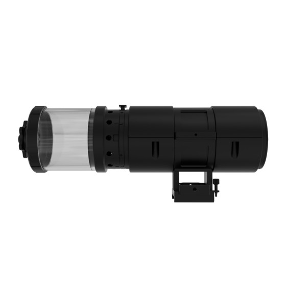
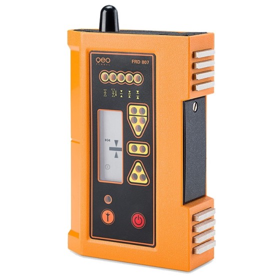
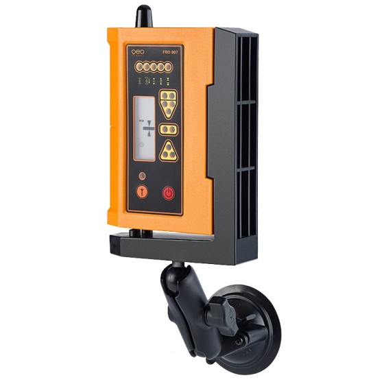
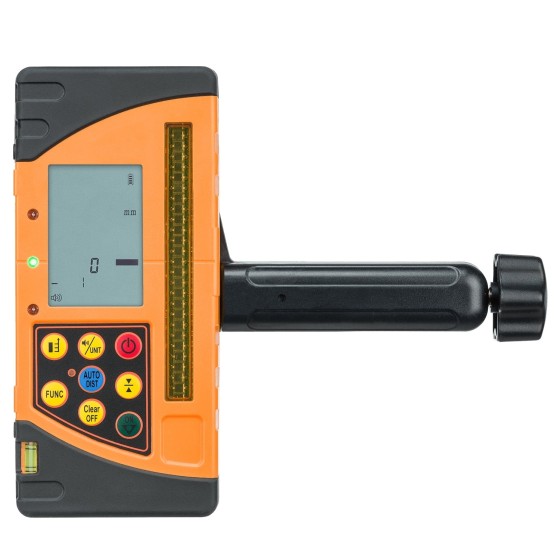
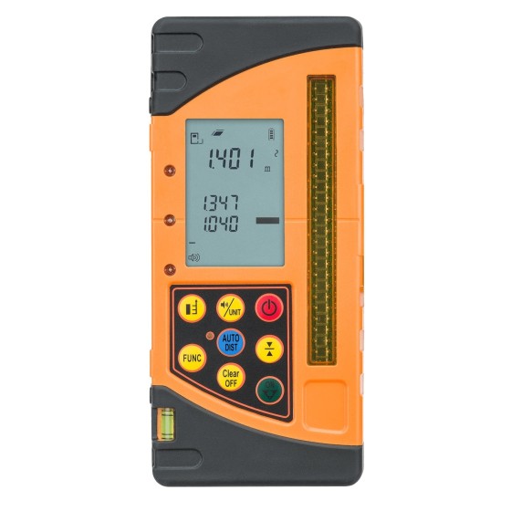
Geo-Fennel FR-DIST 30 Receiver for...
Innovation: AUTO-DIST function measures the distance between laser plane ("0" level of receiver) and floor, wall, object automatically
€272.99
Regular price
€321.16
Price