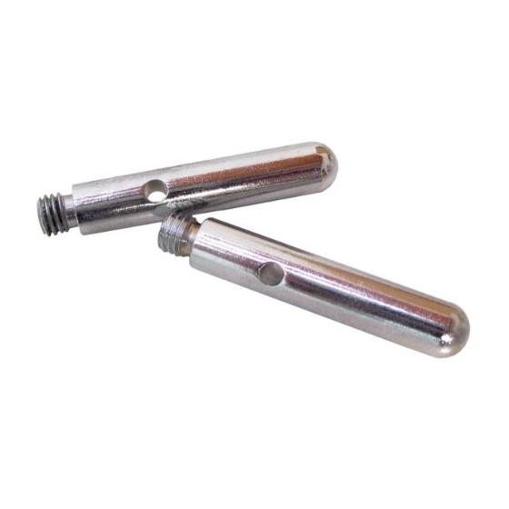
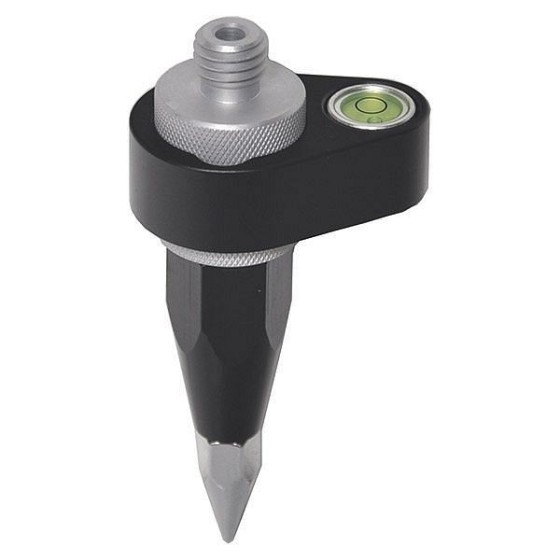
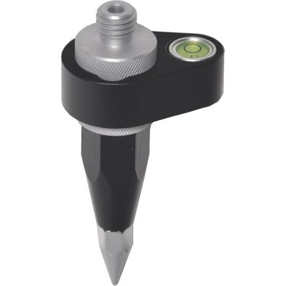
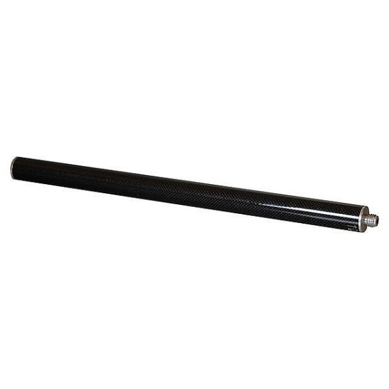
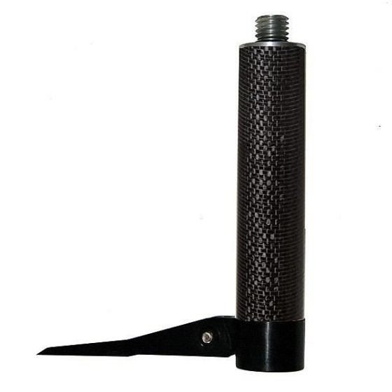
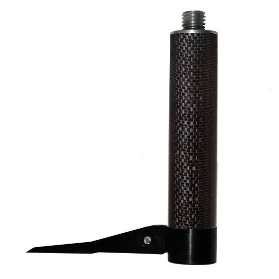
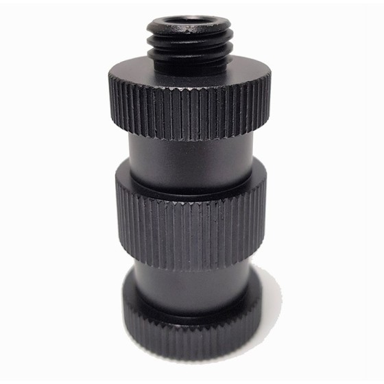
ADA Screw Extender with Thread 5/8"
Metallic screw extender is designed for installation of laser levels on the tripods and rods with the screw 5/8".
Filter By
Brand
Brand
Price
Price
Type
Type
Features
Features
Metallic screw extender is designed for installation of laser levels on the tripods and rods with the screw 5/8".
Geo-Fennel Replacement Measuring Tape for EasyFix 5m
Nestle 18903000 Round Τips for Telefix telescopic meter, 2 pieces
Inlay for storing DISTO X6, DST 360-X adapter, TRI 120 tripod and GZM 3 target plate in metaBOX 165L
proNivo 218-EPH-BLK GNSS Base Pole with Height reading
RadioDetection Set of 6 Rechargeable NiMH Batteries (D-Cell, HR20)
-Navis-LiveData Advance Access 1 year-
Navis LiveData is cloud based web portal that allows viewing data form multiple Navis wireless wind sensors. It works by connecting Navis wireless wind sensors to Navis LiveData capable devices. Devices transmit data to Navis LiveData web interface. Data can be viewed globally on web browser using URL https://www.navis-livedata.com/.
-Navis-LiveData Advance Access 3 years-
Navis LiveData is cloud based web portal that allows viewing data form multiple Navis wireless wind sensors. It works by connecting Navis wireless wind sensors to Navis LiveData capable devices. Devices transmit data to Navis LiveData web interface. Data can be viewed globally on web browser using URL https://www.navis-livedata.com/.
The Geomax MD360 Remote Display provides an in-cab visualization that works with the MR360R machine control receiver. Featuring the latest radio frequency technology, this remote display offers wireless bi-directional communication which allows the user to change machine control receiver settings without leaving the cab. Also, it comes with nine display channels for a more reliable grading operation.
Highlights:
The C.A.T4+ offers the same locating performance as the C.A.T4 but with addition of Depth measurement, allowing better identification of the route of buried utilities.
The C.A.T4 is the standard model of the range. Using it with the Genny4 transmitter, operators will be able to find more buried utilities, faster to drive best locating practice, reduce the number of cable strikes, and dig more safely.
The C.A.T4+ offers the same locating performance as the C.A.T4 but with addition of Depth measurement, allowing better identification of the route of buried utilities.
This model adds GPS position to the usage data recorded. Bluetooth connectivity allows seamless transfer of usage data to the C.A.T Manager Online cloud based system for near real-time monitoring of operators’ performance.