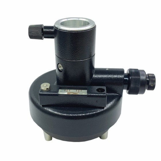
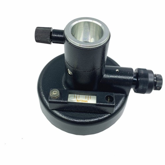
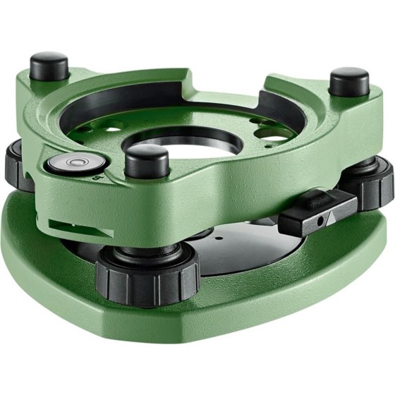
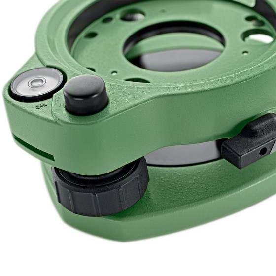
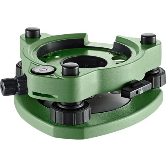
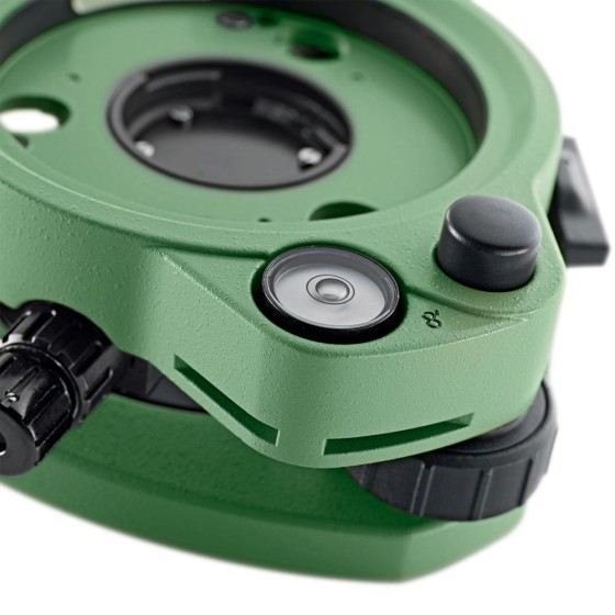
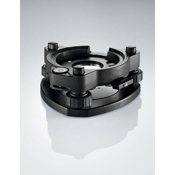
Geo-Fennel AJ 10 Tribrach Black without...
AJ 10 Tribrach Black without optical plummet
Filter By
Brand
Brand
Price
Price
Use
Use
Scope Magnification
Scope Magnification
Tilt Sensor
Tilt Sensor
Screen
Screen
Range
Range
Digital Pointfinder
Digital Pointfinder
Tripod connection 1/4"
Type
Type
Automatic End-Piece
Automatic End-Piece
Optical Plummet
Optical Plummet
Features
Features
AJ 10 Tribrach Black without optical plummet
-Navis-LiveData Advance Access 1 year-
Navis LiveData is cloud based web portal that allows viewing data form multiple Navis wireless wind sensors. It works by connecting Navis wireless wind sensors to Navis LiveData capable devices. Devices transmit data to Navis LiveData web interface. Data can be viewed globally on web browser using URL https://www.navis-livedata.com/.
Geo-Fennel GeoDist® 600LR Laser distance meter for range and speed measurement
The GDF311 (and the GDF312) Professional 3000 series tribrachs are the mid-grade professional tribrachs from Leica.
-Navis-LiveData Advance Access 3 years-
Navis LiveData is cloud based web portal that allows viewing data form multiple Navis wireless wind sensors. It works by connecting Navis wireless wind sensors to Navis LiveData capable devices. Devices transmit data to Navis LiveData web interface. Data can be viewed globally on web browser using URL https://www.navis-livedata.com/.
The GDF311 (and the GDF312) Professional 3000 series tribrachs are the mid-grade professional tribrachs from Leica.
The TruPulse 200L was designed to make professional measurements at an affordable price. This versatile handheld laser measures much more than just distance and angle. The TruPulse 200L uses advanced TruTargeting technology and premium built-in features for reliable results trusted by true professionals.
-Locating and marking buried utilities quickly, accurately and safely-
The new RD7200 is a no compromise all-industry locator, designed for accurate and effective every day use.
Intended Use:
Damage prevention and operational efficiency are the biggest challenges facing our customers
Solve these problems with the new RD8200®. Designed with the operator in mind, it is our most advanced and capable range of precision locators.
Intended Use:
Mapping and Digital Solutions Precision Locator Range
Locate and map buried utilities in a single operation with the RD8200SG - Survey Grade. The RD8200SG is our most advanced, combined mapping and utility locating solution that enables users to map buried utilities with survey grade accuracy.