Quick View
WishList
Compare
Add To Cart
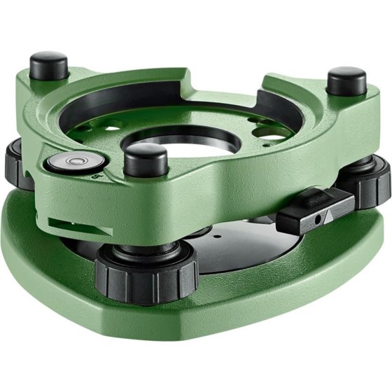
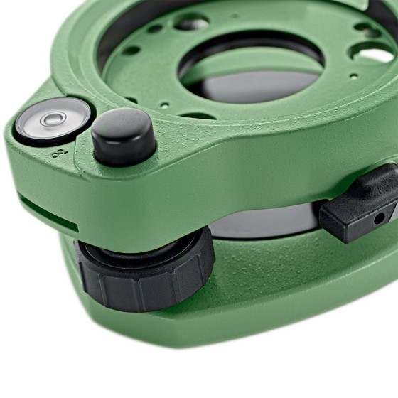
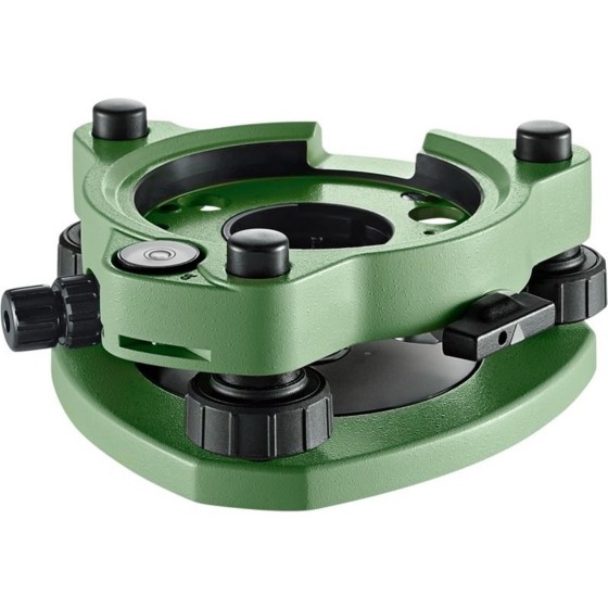
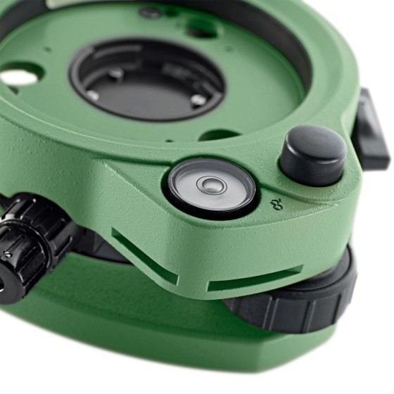
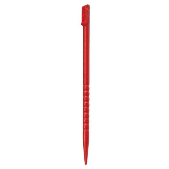
Leica GDZ56 Touchscreen Pen
Leica GDZ56 Touchscreen Pen for TPS1200 and Viva instruments and controllers.
€2.42
Price