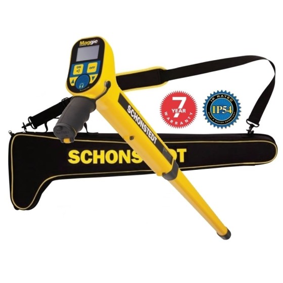
Quick View
WishList
Compare
Add To Cart
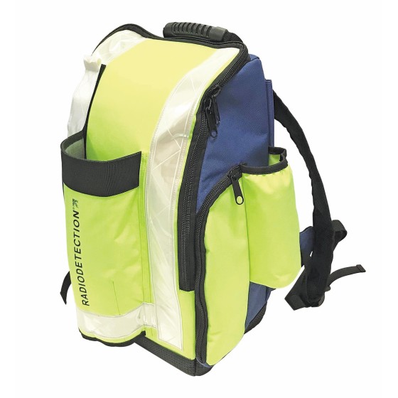
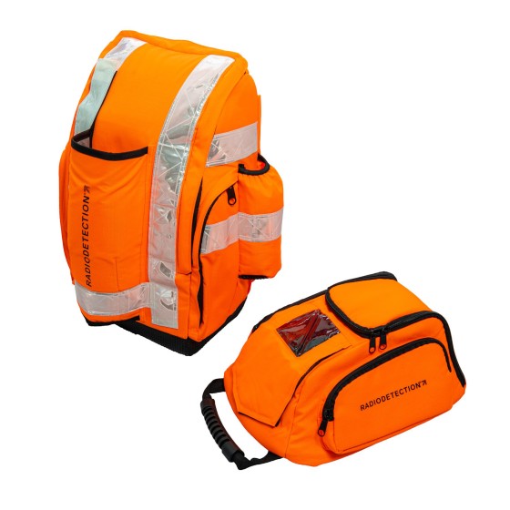
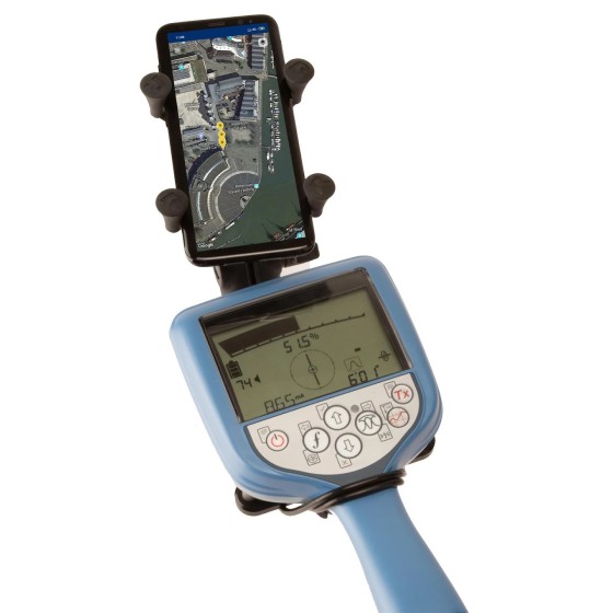
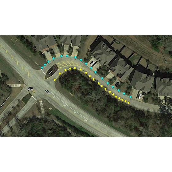
RD Map™ Android App
RD Map™ is the free Map&Share™ Android app which supports Radiodetection’s Bluetooth Precision locators and allows locator technicians to create detailed maps of buried utilities and share them directly from the field.