


")
")
")
")


Quick View
WishList
Compare
Add To Cart
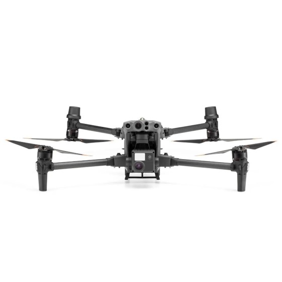
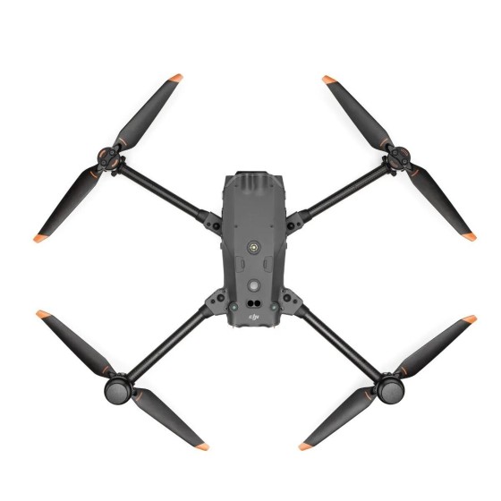
Edition
M30
M30T