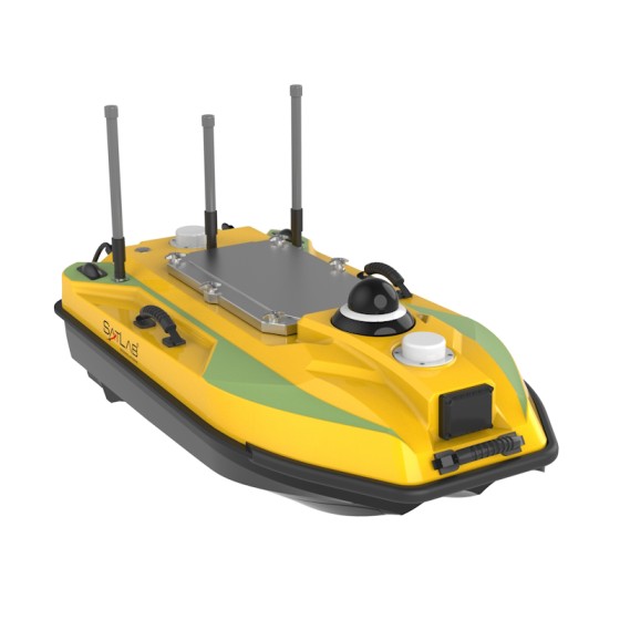
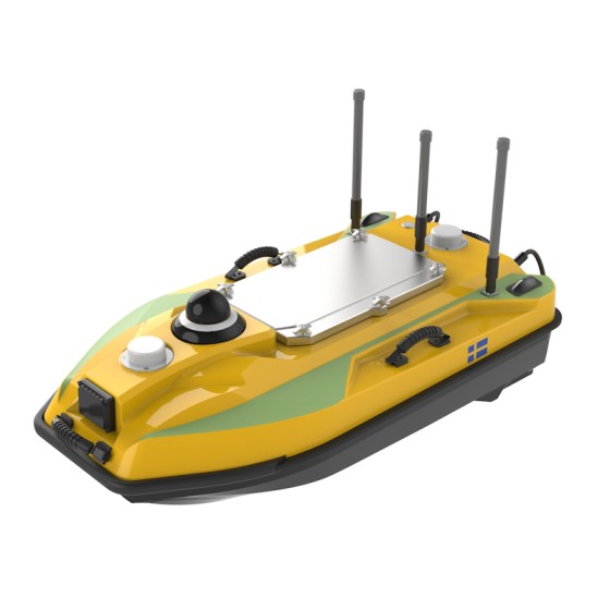
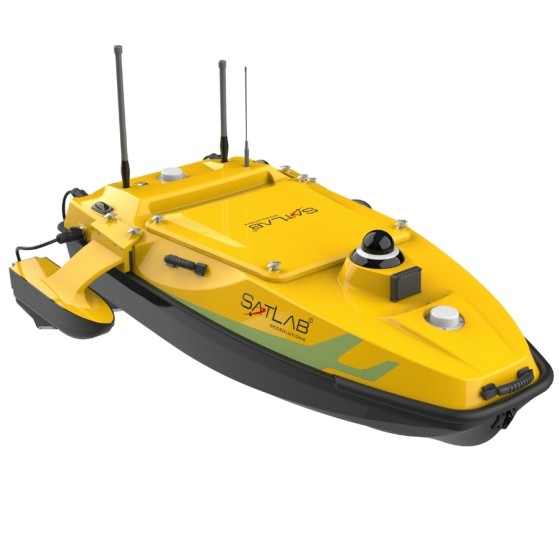
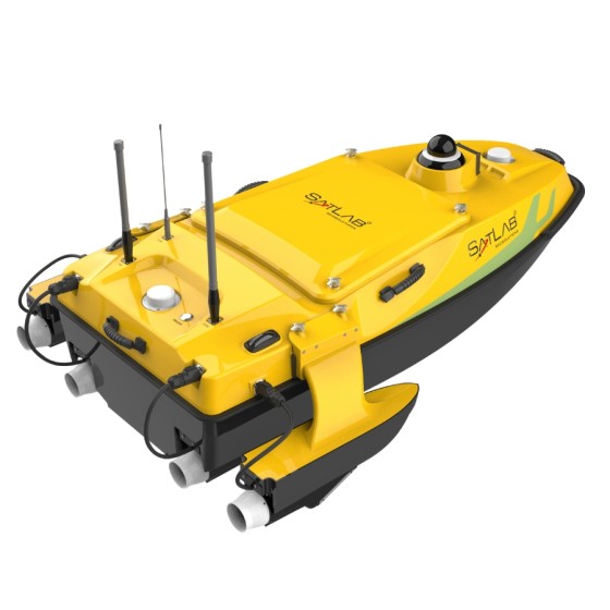
Unmatched Versatility and Portability
A comprehensive platform that is designed especially for integrating with varied water measurement devices for hydrographic surveys and environmental monitoring. Its lightweight design and enhanced maneuverability facilitate operational flexibility in different instrument deployments and transportation for surveys between different sites.
Adaptive Water Flow
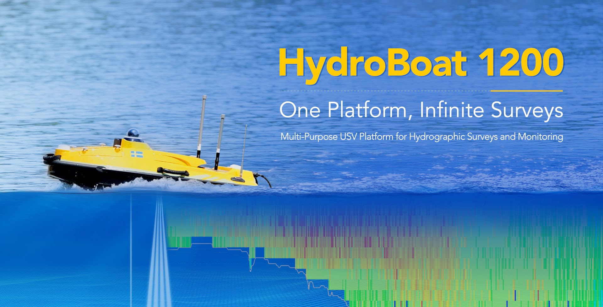
Precise hovering and efficient trajectory tracking. No fear of waves and wind. Follow predefined path with accuracy even in challenging environment. Hydrodynamically efficient design for the USV’s intended operations, guided by CFD simulation, enhances hull stability and noise reduction under varied water conditions and loads.
New GNSS+IMU Combination Algorithm
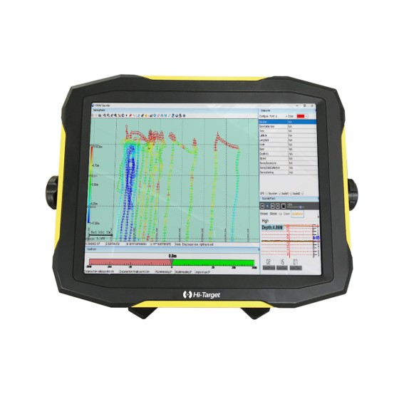
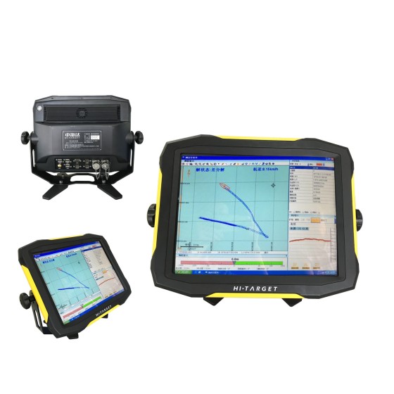
With millisecond-level dynamic response, the high-performance CAD engine simplifies stakeout point and line selection, making the process incredibly intuitive and efficient with just one click.
Comprehensive Safety Enhancement
360° security and precision. Built-in SBES, GNSS, IMU, 360° PTZ camera, millimeter-wave radar, and dual-color navigation lights ensure accurate water depth and positioning data and provide all-around protection against boat grounding and collisions.
Applications:
- Bathymetric survey
- Flow measurement
- Geomorphological survey
- Emergency rescue
- Underwater salvage
- Water quality survey