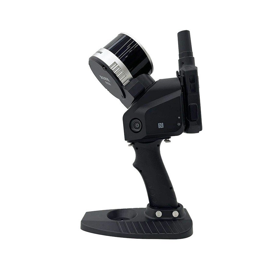


JanusExplore has a 360° rotating pan/tilt system, which can form a point cloud coverage of 270°×360°. Combined with the industry-level SLAM algorithm, it can obtain high-precision 3D point cloud data of the surrounding environment without light and GPS.
 Security policy
We re using Security Certificate GeoTrust OV with 256bit encryption.
 Delivery policy
Orders places before 14:00, working days, usually are shipped at the next working day.
 Return policy
You have the right to return your purchase within 14 days (terms may apply).
The rotary scan and dynamic collection of the laser sensor form a 270°×360° spherical field of view.
Thanks to JanusExplore you will accurately collect data from all angles with the guarantee of keeping your data intact.
JanusExplore rotary scanning, uniform top and bottom data, complete angle data.
Generate colour point clouds and local panoramas with JanusExplore
Three 5-megapixel cameras are selected to form a horizontal 200° and a vertical 100° field of view, which can simultaneously acquire texture information and generate color point clouds and local panoramas.
The industry-level SLAM post-processing algorithm enables JanusExplore to obtain higher-precision and finer 3D point cloud data.
No need to manually add control points, active acquisition and automated extraction, making it easy to place outcome data in a global coordinate system.
JanusExplore It can be mounted on the Pegasus D500 and D20 flight platforms for air-ground integration, indoor and outdoor integration data collection.
It can be connected to a panoramic camera, GPS module, etc., to diversify data collection and apply to more application scenarios.
Wireless connection to JanusExplore, real-time display of scanned data, 2D, 3D and slice display; mobile phone APP historical project information cloud synchronization; preview three cameras to obtain images.
As a PC-side software supporting JanusExplore, it is embedded in the UAV Butler Professional Edition. This software can perform post-processing of data collected by JanusExplore, produce high-precision, high-definition color point clouds, produce local panoramas, and perform point cloud browsing and optimization processing.
Specifications:
Sensor Parameters: