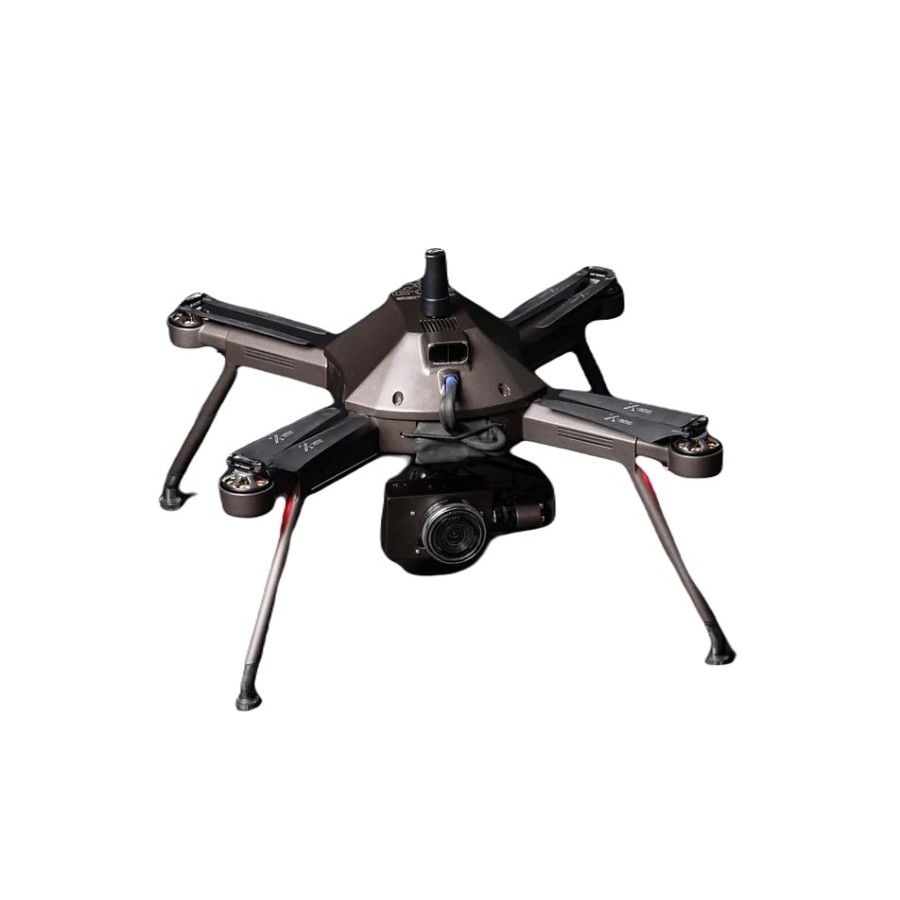


Air Surveyor 4 is a high quality, handmade drone designed and made in Greece, specialized for topographic applications. It provides a complete range of new and improved functions with emphasis on the final result, simplifying its use in the field (easier to use and safer).
 Security policy
We re using Security Certificate GeoTrust OV with 256bit encryption.
 Delivery policy
Orders places before 14:00, working days, usually are shipped at the next working day.
 Return policy
You have the right to return your purchase within 14 days (terms may apply).
The high-strength materials used for its construction ensure flight safety and durability over time.
It allows you to reduce the standard errors of some georeferencing measures to 2 - 5cm through auxiliary GNSS data collection in flight. Higher accuracy with dramatically reduced extra costs!
Drone Services is able to follow the developments in drone technology and apply the new features to their models. This does not require the purchase of new equipment every 2 to 3 years but its upgrade.
24mp Basic Camera with Sony APS-C sensor and interchangeable E-mount lenses on gimbal, possibility for Full Frame 42mp.
It achieves 22 minutes of flight with a battery that ranks it among the top drones of the genre with high quality camera and gimbal resolution.
Drone Services has developed a controller for professional use. With two separate screens and increased autonomy.
High stability in winds up to 10-12m / sec.