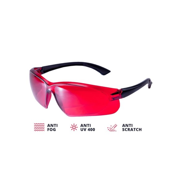
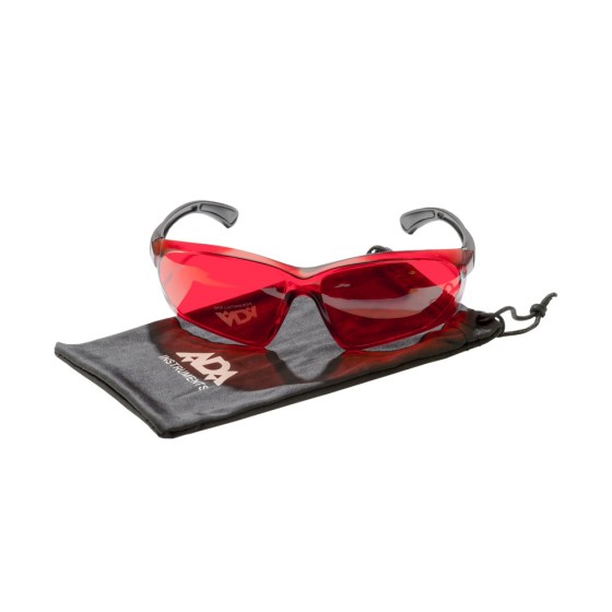
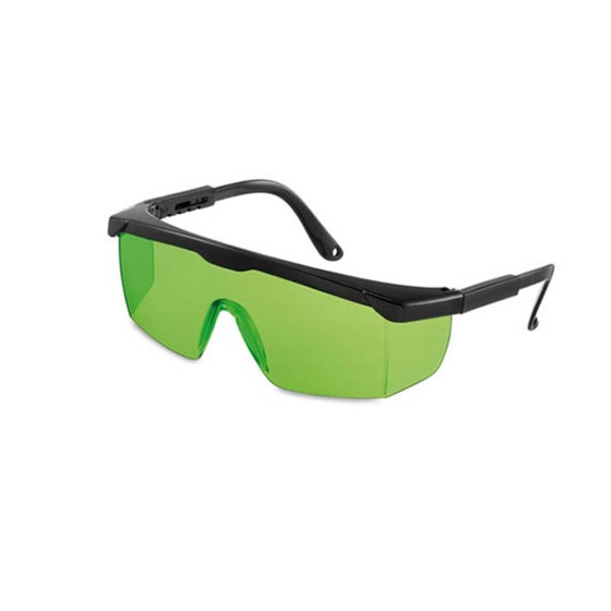
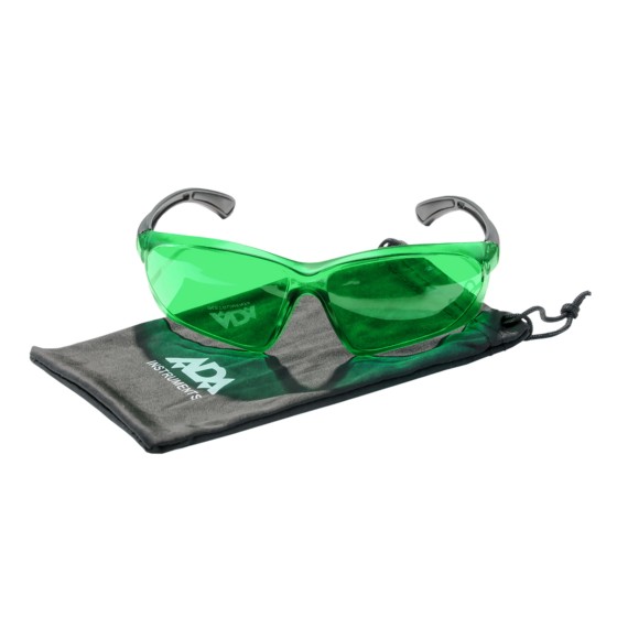
ADA VISOR GREEN Laser Glasses
Laser glasses ADA VISOR GREEN are laser glasses for better visibility of green laser beam.
Filter By
Brand
Brand
Price
Price
Type
Type
Features
Features
Laser glasses ADA VISOR GREEN are laser glasses for better visibility of green laser beam.
Laser glasses ADA VISOR RED are laser glasses for better visibility of red laser beam.
Metallic screw extender is designed for installation of laser levels on the tripods and rods with the screw 5/8".
Geo-Fennel Replacement Measuring Tape for EasyFix 5m
Nestle 18903000 Round Τips for Telefix telescopic meter, 2 pieces
Anemometer ADA AeroTemp IP65 is used for the measurement of air speed and its temperature. This instrument is ideal for usage on the environmental monitoring stations, inspection of ventilation, air-conditioning, in yachting sport, parachuting. Anemometer ADA AeroTemp IP65 is a compact and easy to use instrument.
Inlay for storing DISTO X6, DST 360-X adapter, TRI 120 tripod and GZM 3 target plate in metaBOX 165L
proNivo 218-EPH-BLK GNSS Base Pole with Height reading
A professional remote vane thermo-anemometer for measuring air velocity, air flow and temperature.
The Geomax MD360 Remote Display provides an in-cab visualization that works with the MR360R machine control receiver. Featuring the latest radio frequency technology, this remote display offers wireless bi-directional communication which allows the user to change machine control receiver settings without leaving the cab. Also, it comes with nine display channels for a more reliable grading operation.
Highlights:
The C.A.T4+ offers the same locating performance as the C.A.T4 but with addition of Depth measurement, allowing better identification of the route of buried utilities.
The C.A.T4 is the standard model of the range. Using it with the Genny4 transmitter, operators will be able to find more buried utilities, faster to drive best locating practice, reduce the number of cable strikes, and dig more safely.
The C.A.T4+ offers the same locating performance as the C.A.T4 but with addition of Depth measurement, allowing better identification of the route of buried utilities.